Map of Portugal
Portugal, the Azores and Madeira: colour the map, label the main rivers and the district capitals.
A map of mainland Portugal drawn from real coordinates, with the Azores and Madeira in insets, Spain beside it and the Atlantic around it. Colour it with the key (the mainland, the autonomous regions and the sea); label the six main rivers (Minho, Douro, Mondego, Tejo, Sado and Guadiana); or label the towns, either the six biggest or all eighteen district capitals, with the two archipelagos. Numbered pointers, lines to write on and a word bank to copy from, which can be turned off for a test.
- Age
- ages 7–12
- Answer key
- Included, free
- Skills
- geographyvocabularyhandwriting
What you can change
Page
Colour the map, Label the rivers, Label the towns
Towns
The six biggest, All 18 district capitals
Word bank
- Every page also takes the book's language, page size, theme and pictures.
Ready-made worksheets with this page
Used in 2 worksheet sets for the school year, each in its country's language.
🧭 Where is it?
All activities →Position words, compass directions and maps.
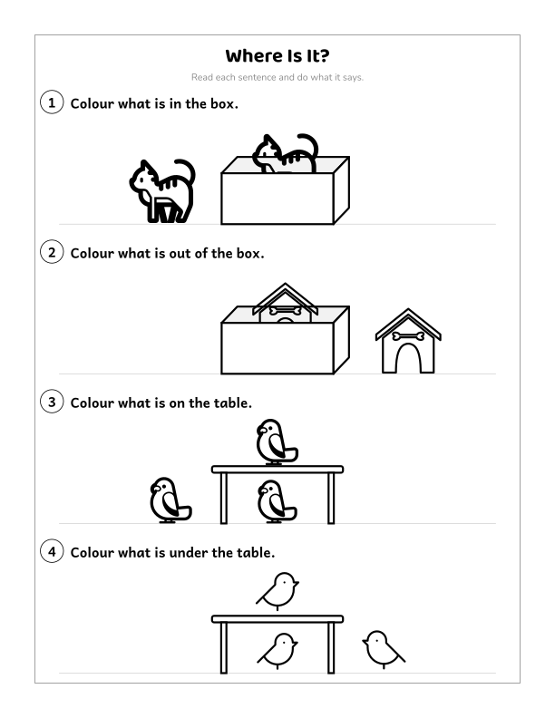
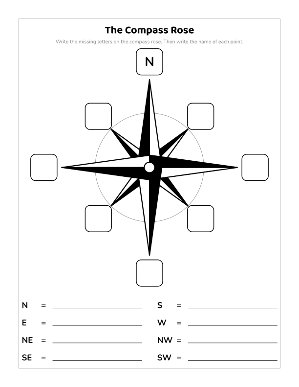
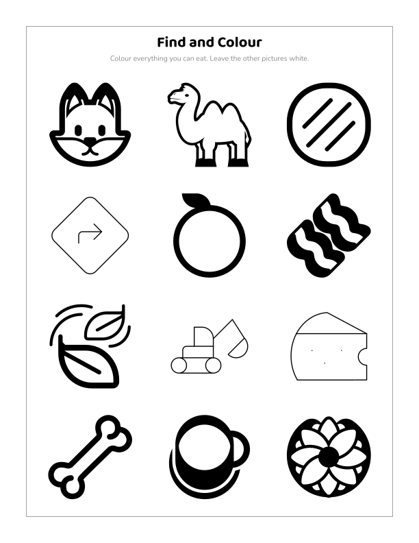
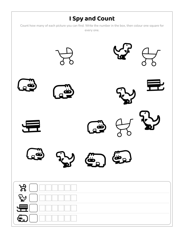
Put it in a book with other pages: covers, answer keys and a certificate are free.
Start building